Commercial Carbon Capture and Sequestration in the US
The US is home to the largest number of commercial carbon capture and sequestration (CCS) projects worldwide, with approximately 50 new projects announced in 2021, according to the Global CCS Institute. SCS contributes expertise to several ongoing and groundbreaking carbon dioxide geologic sequestration projects. These projects have highly advanced permitting and monitoring requirements.
Research published in a report by the Congressional Research Service defines three main types of sites ideal for underground CO2 injection and sequestration: depleted oil and gas reservoirs, deep saline reservoirs, and un-mineable coal seams. In each case, CO2 in a supercritical state is injected into a porous rock formation below ground that holds, or previously held, fluids. When injected at depths greater than half a mile, the pressure keeps the injected CO2 entrained within the formation fluids, where the CO2 will subsequently dissolve.
Selecting a Site
The target geological injection interval must have an overlying impermeable caprock, such as shale, so the injected CO2 doesn’t migrate into overlying formations, most specifically, the underground source of drinking water. Fortunately for geoscientists and engineers, most of the technology used to assess the subsurface was initially developed by the petroleum industry, including a variety of geophysical techniques, including seismic reflection.
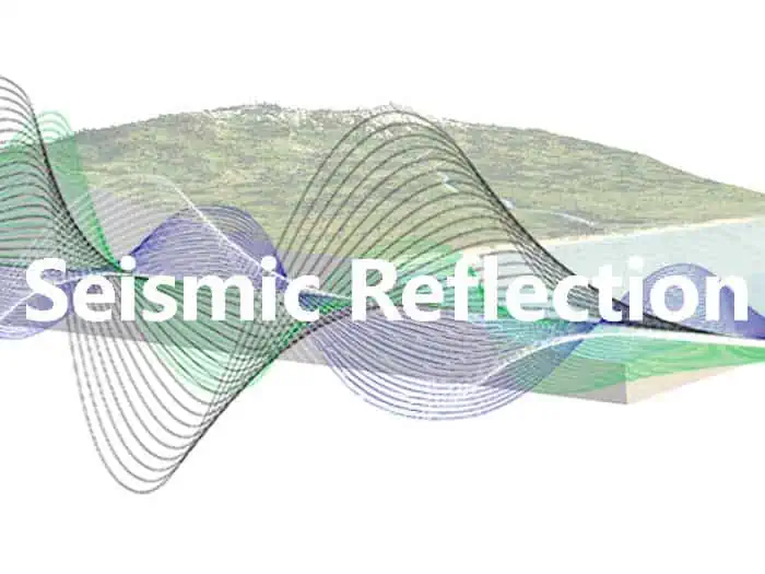
Using Seismic Reflection Technology
At SCS, our team uses the same seismic reflection technology and methodology developed by the oil and gas industry to evaluate the subsurface. Seismic reflection is a powerful tool when used properly and allows us to interpret the depositional background of the system and identify permeable and impermeable units. Seismic reflection involves generating seismic waves (the source) and measuring the two-way travel time taken for the waves to travel from the source, reflect off an interface, and be detected by an array of receivers at the surface. The reflected signal is based on the density-velocity contrast at the interface. Depending upon the type of source and receivers, seismic reflection, once recorded and processed, provides 2 or 3-D imagery of stratigraphic boundaries and geologic structure –all at depths ranging from hundreds of meters to several kilometers.
In-house experts enable SCS to utilize this amazing tool, which enables teams across the organization to see where the best areas for injection are by interpreting seismic stratigraphy. We can determine the continuity of a layer and the presence (or absence) of faults and fractures. The data can also help us determine the type of fault and whether it is a sealing or a transmissive fault. For example, a fault-bound anticline (when the rocks push up from stress changes) may provide a stratigraphic trap for hydrocarbon and can potentially store CO2.
We use seismic reflection in the initial phases of a project to determine the depths and lateral extent of known lithology. We employ previously mapped lithologic units to correlate the “images” created in seismic profiles to existing formations and, in doing so, perform a “check” on the seismic interpretation.
Long Term Benefits
Seismic reflection provides significant input when choosing a reservoir or siting a well; however, its use doesn’t end with an initial site assessment. The technology provides robust methods for monitoring the CO2 plume and interpreting changes to the subsurface during and post-injection. SCS has two Class VI injection projects where seismic reflection data was employed to identify the target injection zones and seals. The next step will be using the data to look at the subsurface relative to the injection well using downhole sensors, a process known as vertical seismic profiling.
The requirements surrounding the Class VI permitting process are complicated, but SCS has in-house experts with the skills to employ seismic reflection. Teams continue to hone their skills in this area as clients value and trust partners who can demonstrate a thorough understanding of permitting carbon sequestration projects.
The Class VI permit application typically takes 18 to 24 months to receive approval. The process is laborious and expensive. Demonstrating expertise here is critical as SCS Engineers continues to play an integral role in advancing supercritical CO2 projects throughout North America.
Additional Resources and Educational Materials: